A bird’s-eye view offers a unique perspective, simulating the vantage point of a bird looking down on a subject from above. This elevated viewpoint provides a comprehensive understanding of the object or landscape, making it a valuable tool in various fields such as architecture, urban planning, cartography, and photography. Here's a detailed exploration of the concept and its applications:
- Comprehensive Perspective: Bird's-eye views provide a holistic understanding of an object or environment by capturing it from above. This vantage point allows observers to see the entire layout, spatial relationships, and context of the subject, facilitating better decision-making and planning.
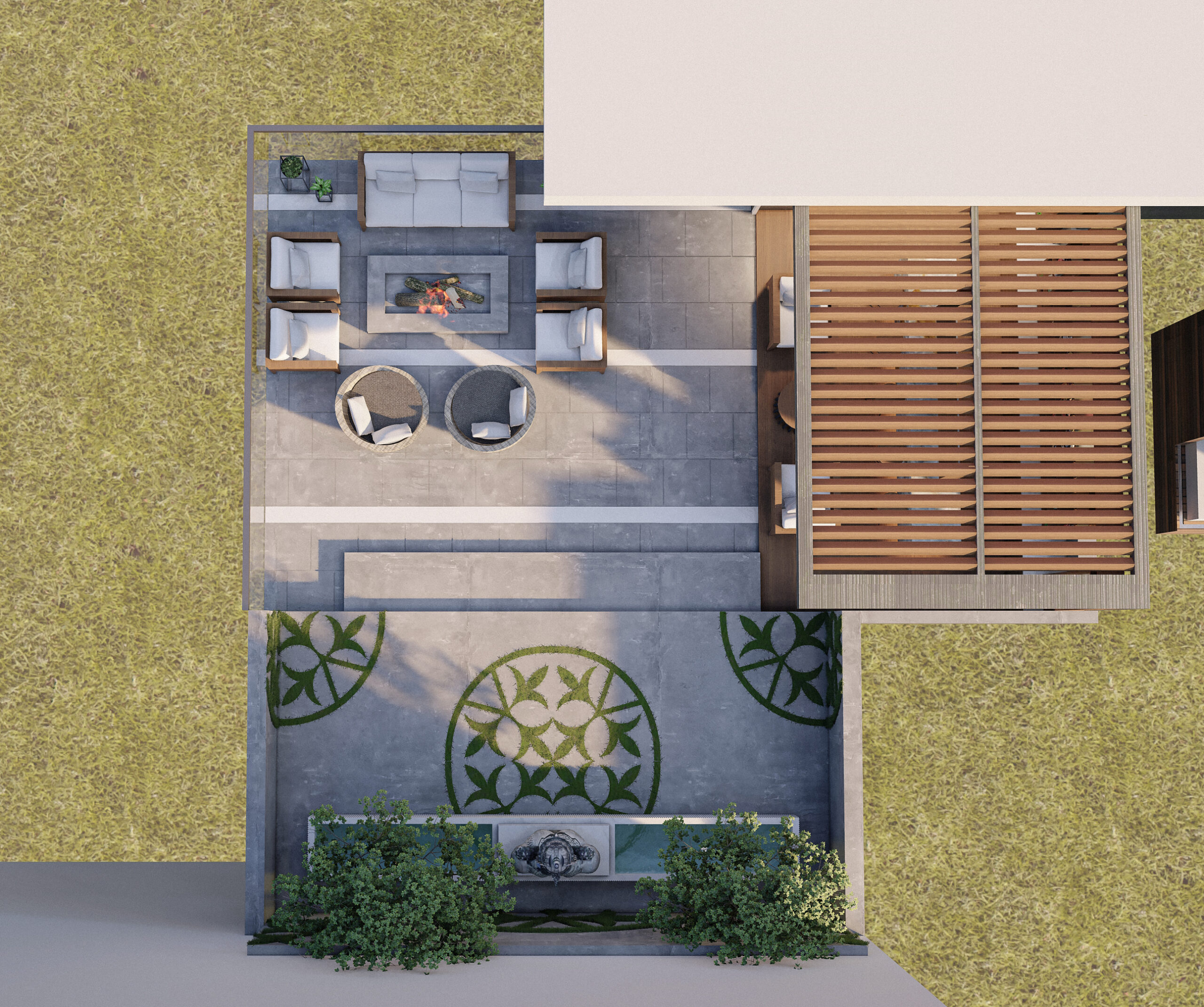
- Blueprints and Floor Plans: In architecture and engineering, bird's-eye views are commonly used to create blueprints and floor plans of buildings, landscapes, and urban developments. These diagrams offer architects, designers, and planners a clear visualization of spatial arrangements, circulation patterns, and structural layouts.
- Urban Planning and Design: Bird's-eye views are indispensable in urban planning and design projects. They enable planners to assess land use patterns, transportation networks, and infrastructure layouts from a macroscopic perspective. This helps in optimizing the allocation of resources, improving accessibility, and enhancing the overall livability of urban environments.
- Cartography and Mapping: Cartographers utilize bird's-eye views to create accurate and detailed maps of geographic regions. By capturing terrain features, landmarks, and geographic elements from an aerial perspective, cartographers produce maps that are informative, navigable, and visually appealing. This aids in navigation, exploration, and spatial analysis.
- Aerial Photography and Imaging: Bird's-eye views can be obtained through aerial photography, satellite imagery, or drone technology. These high-resolution images provide valuable insights into landscapes, ecosystems, and land-use patterns. Aerial photography is widely used in environmental monitoring, land surveying, disaster management, and scientific research.
- Artistic Expression: Beyond its practical applications, the bird's-eye view has also inspired artistic expression. Artists and illustrators often employ this perspective to create captivating drawings, paintings, and illustrations. The bird's-eye view adds a sense of dynamism, depth, and visual interest to artworks, offering viewers a fresh and imaginative interpretation of familiar subjects.
In summary, the bird's-eye view is a powerful visual tool that offers a unique perspective on the world around us. Whether used for practical purposes such as planning and mapping or as a source of artistic inspiration, this elevated viewpoint enriches our understanding and appreciation of the spatial relationships and complexities of our environment.